Published : 2025-07-28
China is building the world's largest super hydropower project on the Yarlung Zangbo River in Xizang (previously known as "Tibet"). The news has suddenly brought this river, which was largely unknown to many, into the spotlight.
Where does the Yarlung Zangbo River originate from, and where does it flow? Just how abundant are its hydropower resources?
Yarlung Zangbo River originates from the Himalayan Glacier

The name of the Yarlung Zangbo River (雅鲁藏布江) originates from Tibetan. "Yarlung" means "coming from the sky" in one interpretation, and "Zangbo" means river.
Its primary source lies within Zhongba County (仲巴縣), in western Shigatse City (日喀則市), near the border with Nepal—specifically at the Jiemayangzong Glacier (杰馬央宗冰川) on the northern slopes of the Himalayas, at an elevation of 5,590 metres. The upper reaches of the river are also known as the Maquan River (馬泉河).
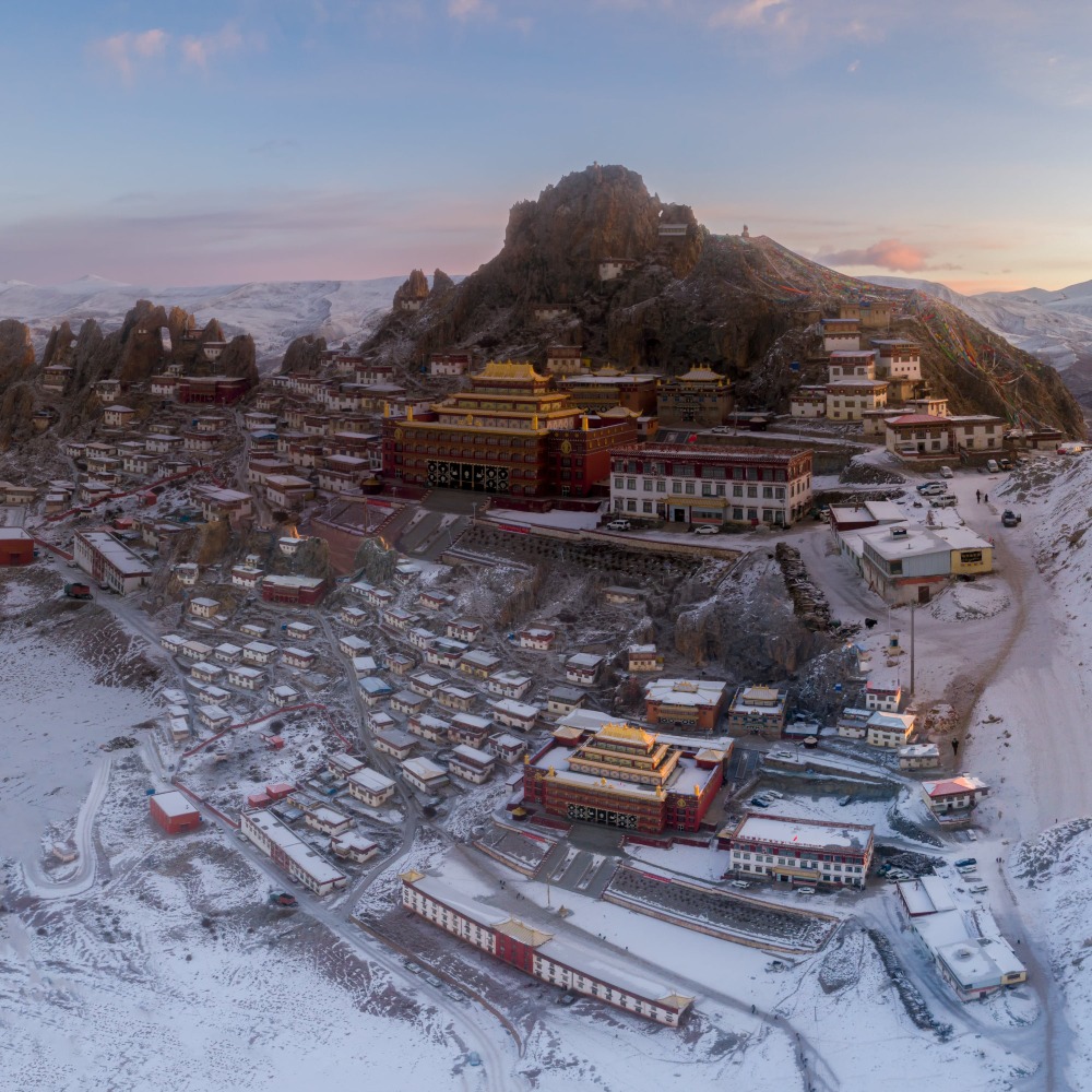
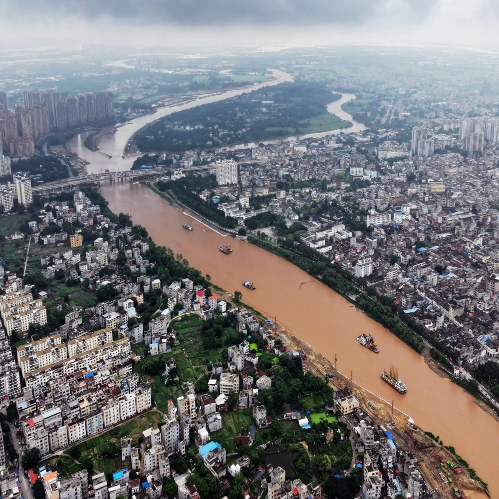
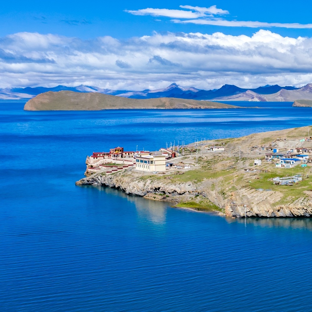
After originating, the Yarlung Zangbo River flows from west to east, passing through the four core areas of Xizang: Shigatse, Lhasa (拉薩), Shannan (山南) and Nyingchi (林芝). It is the most important water source in the region, serving as the mother river to the Tibetan people.
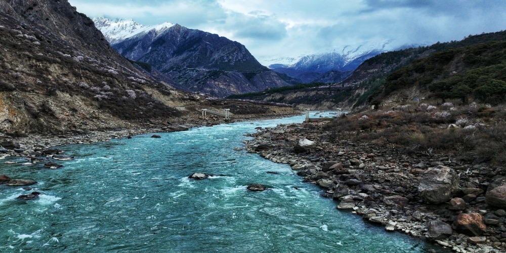
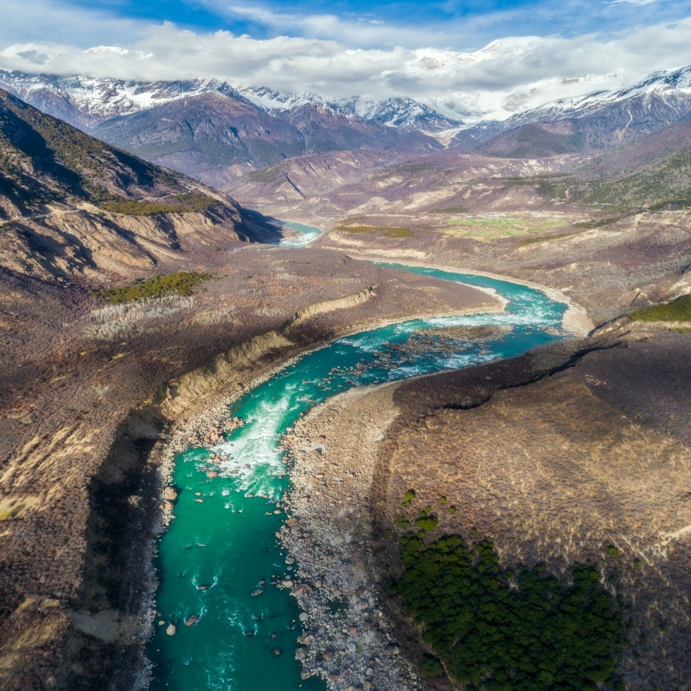
After flowing through Medog County (墨脫縣) in Shannan City, it takes a dramatic "Great Bend" near Mount Namcha Barwa (南迦巴瓦峰) before turning southwest. It then continues through the southern Xizang before crossing the border into India.
Read more: Yangtze River, Yellow River, Pearl River... How many major rivers of China can you name?
China's 5th-longest river, with a flow volume 2nd only to the Yangtze and Pearl Rivers

Incidentally, China has over a thousand counties, and Medog was the last county to have access to highways.
The authorities began attempting to build roads to Medog in the 1960s, but due to complex geological structures and frequent natural disasters, the roads were repeatedly destroyed. It was not until 2013 when the Medog Highway was opened, making the area no longer an isolated island.
Back to the topic, the Yarlung Zangbo River runs 2,057 kilometres within China, approximately the straight-line distance from Hong Kong to Beijing.
In terms of length, it is China's 5th-largest river, ranking behind the Yangtze River, Yellow River, Heilongjiang, and Pearl River.
In terms of flow volume, it is among the top three in the country, only second to the Yangtze and Pearl Rivers.
The Yarlung Zangbo River also holds several world records. For example, being situated on the Qinghai-Xizang Plateau, the riverbed is mostly at an elevation of over 3,000 metres, making it the world's highest river.
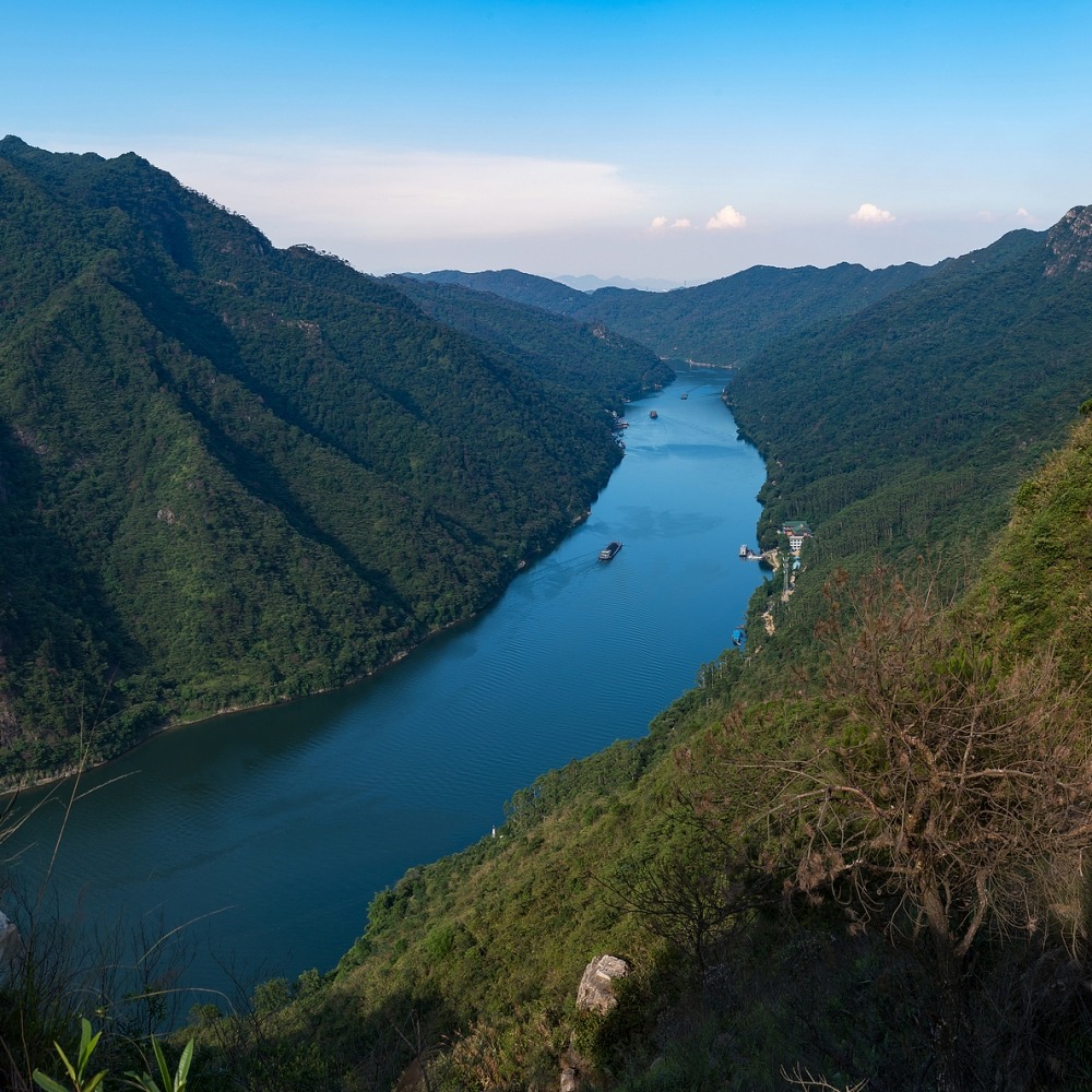
More than that, it also boasts the world's deepest canyon—the Yarlung Zangbo Grand Canyon.
This grand canyon is located in the lower reaches of the river, specifically in the "Great Bend" area, starting from Pai Town (派鎮) in Milin County (米林縣), Shannan Prefecture, and ending in Baksika (巴昔卡), Metok County. It stretches over 504 kilometres, with an average depth of 2,268 metres, reaching a maximum depth of 6,009 metres.
A 2,000-km river segment with a water level drop of 5,435 m
How high is 6,009 metres?
The world's tallest building is the Burj Khalifa in the UAE, which stands at 828 metres; Hong Kong's tallest building is the International Commerce Centre (ICC), which has a height of 484 metres—meaning the deepest part of the Yarlung Zangbo Grand Canyon could fit 12 ICCs stacked vertically.
The Yarlung Zangbo River has flowed on the plateau for millions of years, but its distinction as the world's deepest canyon was only discovered and confirmed in the 1990s. Since then, many tourist spots around the canyon have been developed, and you can find a lot of information online.
Additionally, the Yarlung Zangbo River spans 2,057 kilometres within China's territory, with a water level drop of 5,435 metres, which is the largest for any major river in the world. Its lower reach, a 496-kilometre segment, has a water level drop of 2,725 metres.
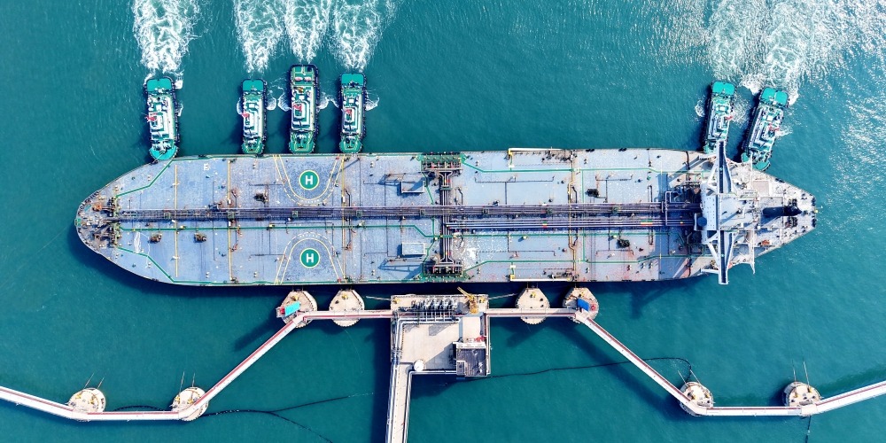
Large flow and significant water level drop are essential conditions for hydropower resources, and the Yarlung Zangbo River possesses both, with remarkable potential. According to media reports, its potential hydropower is as high as 110 million kilowatts.
5-tiered hydropower stations with power generation equivalent to 3 Three Gorges Dams
")
In fact, authorities began surveying the Yarlung Zangbo River's hydropower resources in the early 1970s.
To date, facilities like the Zangmu Hydropower Station (藏木水電站) have been established in the midstream. The largest hydropower station in the world, as mentioned earlier, will be built in the river's most hydropower-rich lower reaches, currently officially referred to as the "Yarlung Zangbo River Lower Reaches Hydropower Project" (雅魯藏布江下游水電工程).
Reportedly, this monumental project officially commenced on July 19, 2025. The scheme primarily involves "straightening river bends and diverting water through tunnels" to construct five cascade hydropower stations.
With an installed capacity of 60 to 81 gigawatts and an annual electricity output of 300 billion kilowatt-hours – equivalent to 3 Three Gorges Dams – the project represents a total investment of 1.2 trillion RMB.
Lastly, let's add some information about the Yarlung Zangbo River beyond the borders. Upon entering India, it becomes known as the Brahmaputra River. Flowing a further 600 kilometres, it crosses into Bangladesh where it converges with the Ganges before emptying into the Bay of Bengal.
Yes, the Ganges that merges with the Yarlung Zangbo River is the same "sacred river" Ganges originating from India.